Navigation Need
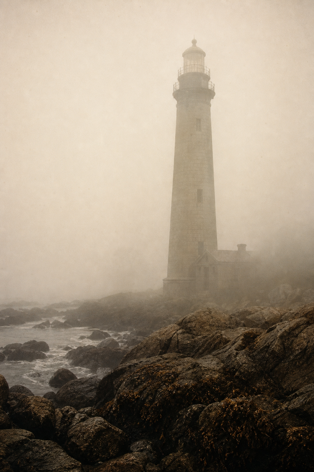
Frequent fog banks, submerged rock shelves, and winter swells made reliable beacon points essential for helping fishing boats, cargo steamers, and harbor pilots approach the coast without guesswork.
Northern Coast Historical Archive
Trace the towers, keeper memories, and shoreline records that preserve the living story of maritime light.
Before timelines and keeper accounts, these towers first served as practical guardians of a difficult shoreline and became landmarks that still shape coastal memory.
Navigation Need
Frequent fog banks, submerged rock shelves, and winter swells made reliable beacon points essential for helping fishing boats, cargo steamers, and harbor pilots approach the coast without guesswork.
Building Era
From the late nineteenth century into the early twentieth, coordinated lighthouse construction standardized routes, encouraged safer maritime trade, and stitched isolated coves into a more connected working shoreline.
Preservation Today
Preserving surviving towers now protects not only distinctive coastal architecture but also the local knowledge, labor history, and environmental context that give northern-coast communities their maritime identity.
Coastline chronology
Five turning points trace how navigation towers moved from frontier necessity to preserved coastal memory.
1824
Cape Alder Light was commissioned, marking the first permanent beacon station along the exposed northern shoals.
1859
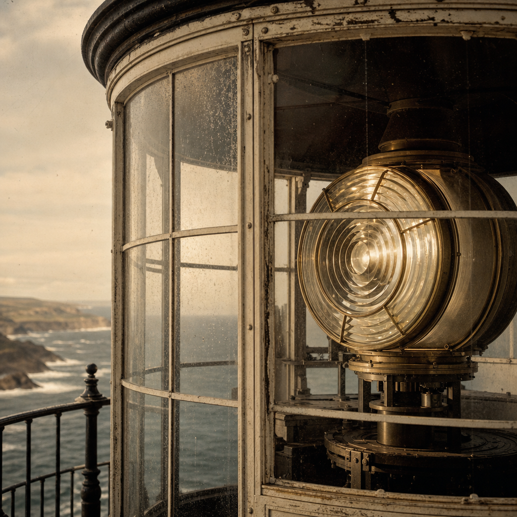
A Fresnel lens upgrade widened visible range and reduced wreck reports during winter fog seasons.
1897
Keeper logbooks began recording storms, wildlife, and rescue signals, creating the earliest narrative archive.
1934
Radio aids joined lamp signals, shifting stations from isolated towers to linked coastal navigation points.
1988
Regional preservation trusts secured surviving towers, opening them for public interpretation and study.
Preservation now carries this story forward, linking each restored beacon to new readers, researchers, and shoreline communities.
Keeper Stories
Short archival vignettes from station journals, maintenance ledgers, and oral history notes.
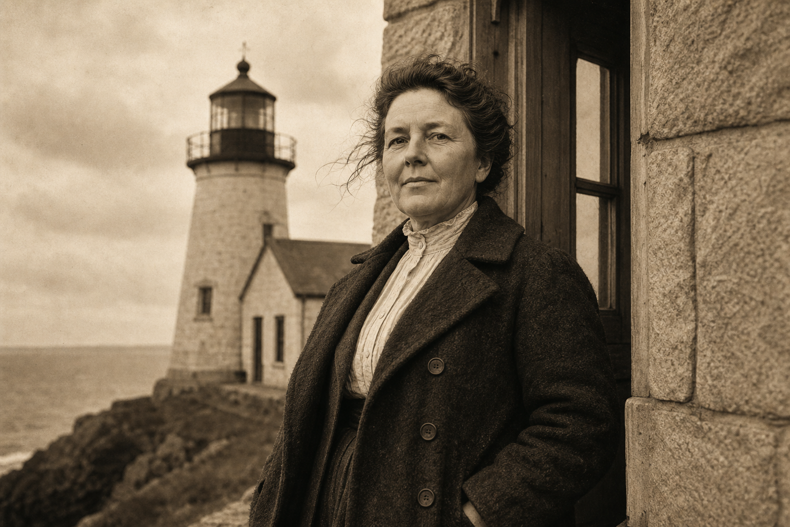
"When fog closed over Breakwater Point, Keeper Morrow climbed down each half hour to strike the bell by hand, saying the rhythm kept both ships and spirits from drifting."
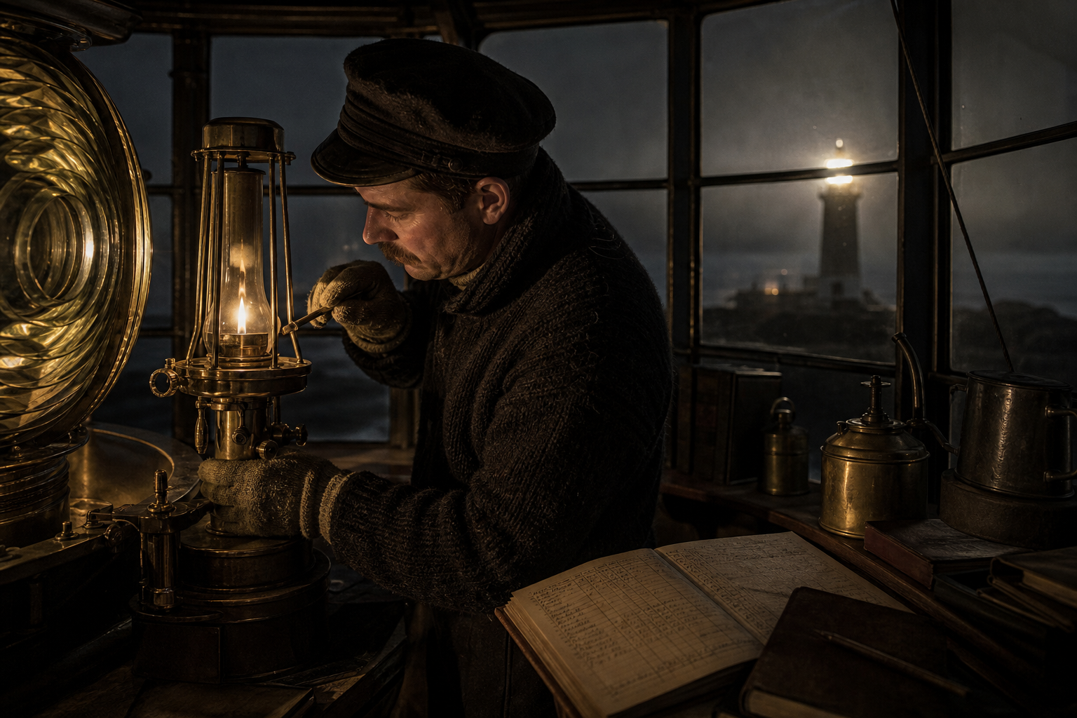
"Assistant keepers logged every wick trim in ink-dark shorthand; one note from 1911 records a gale so loud that spoken orders failed, and only hand signals carried across the glass."
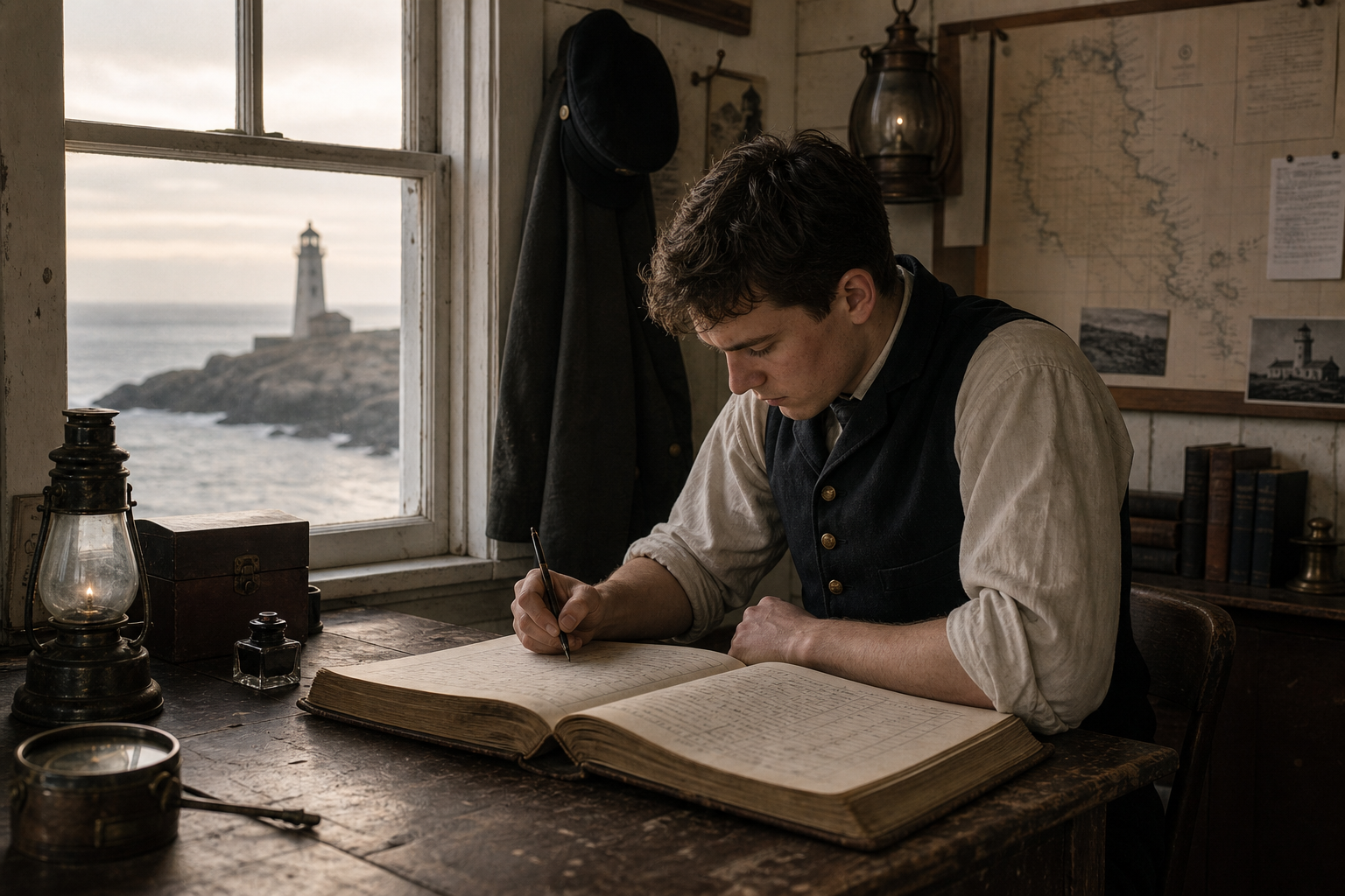
"In spring ledger pages, Keeper Ivers notes how schoolchildren waited below the bluff for a wave from the gallery rail, counting the flashes before lessons began inland."
Preserved Towers Map
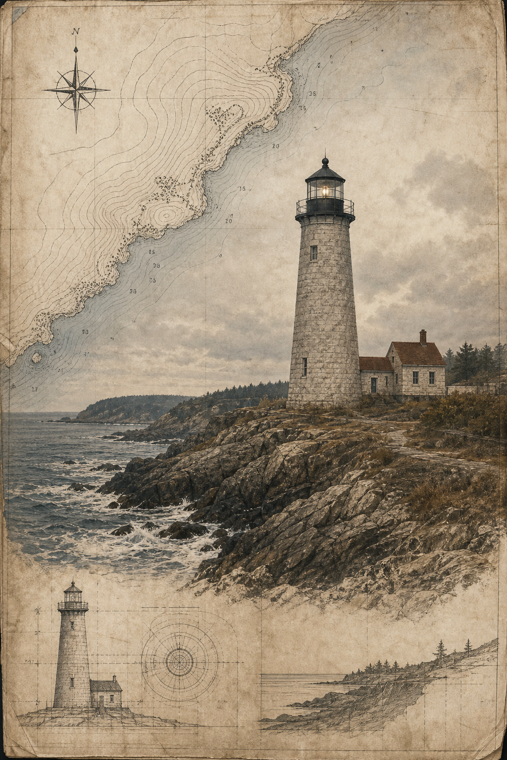
Trace the shoreline from north to south and match each marker to a preserved lighthouse still standing today.
Archive Plates
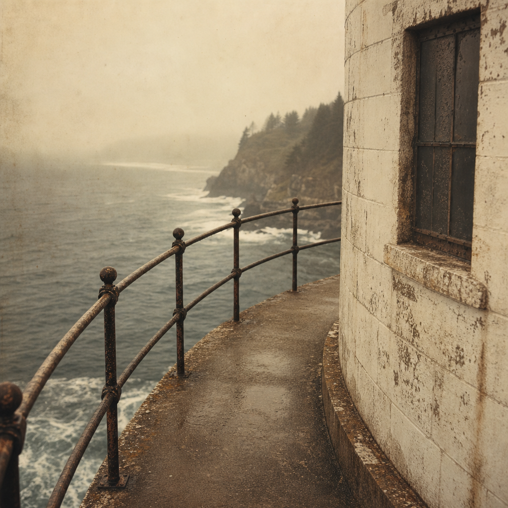
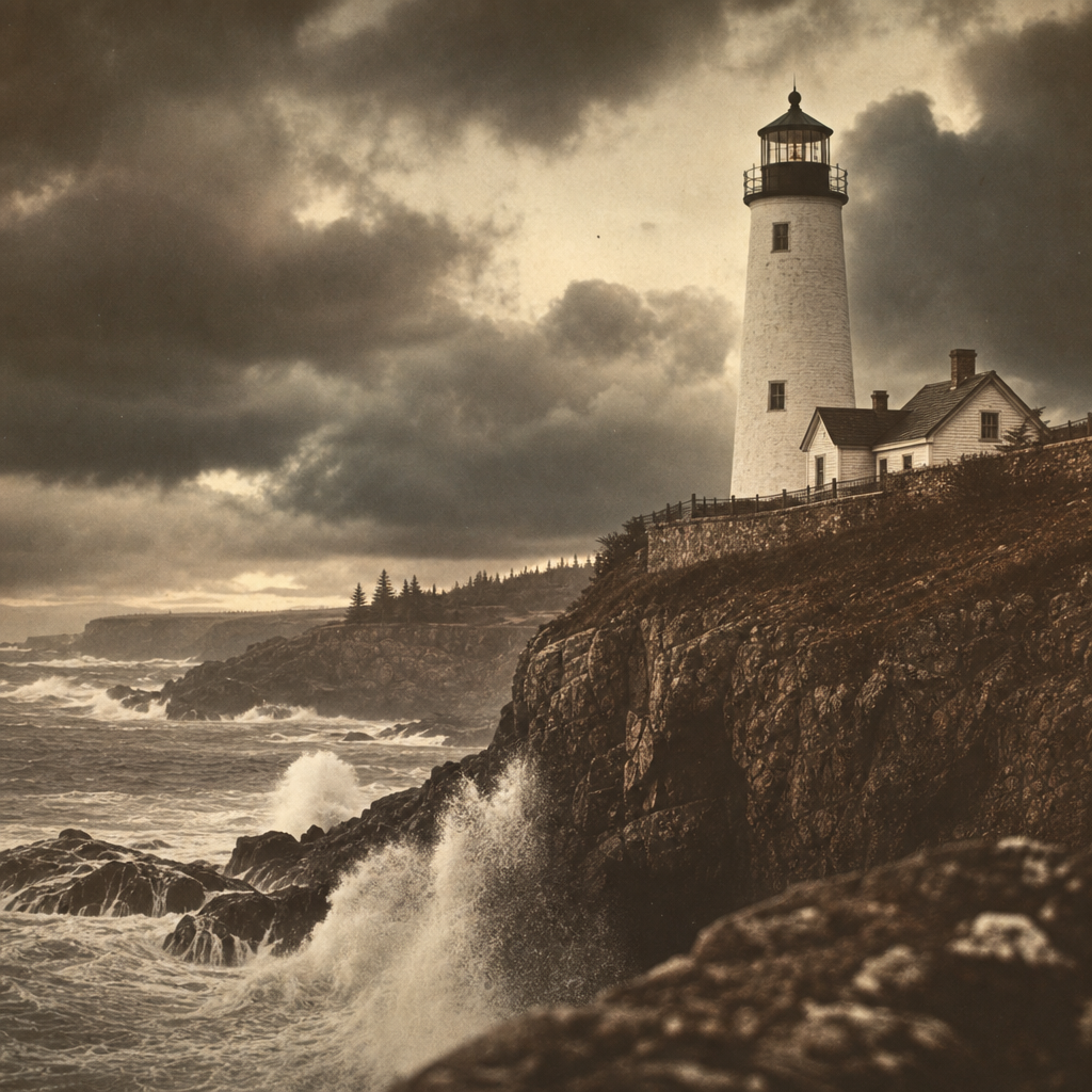
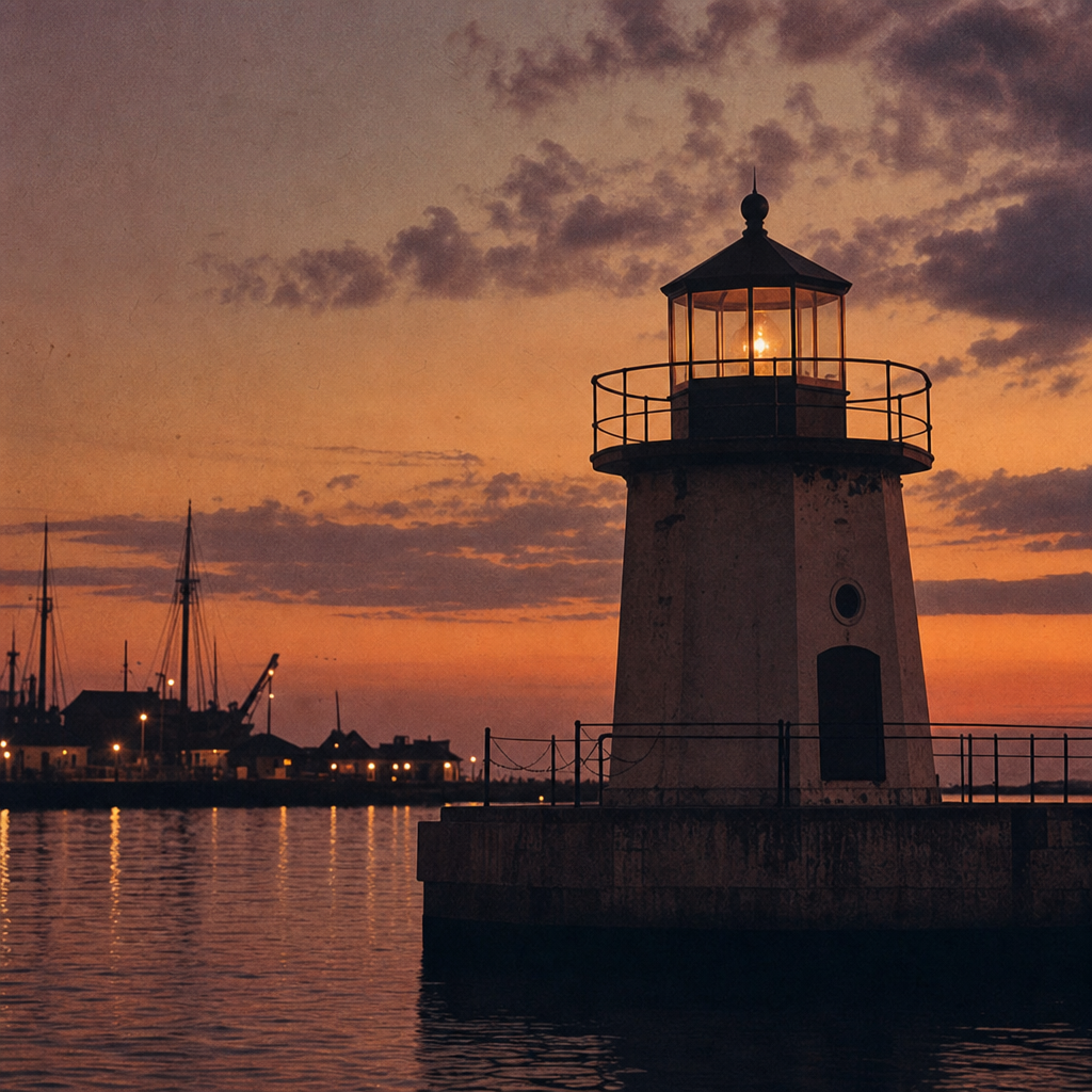
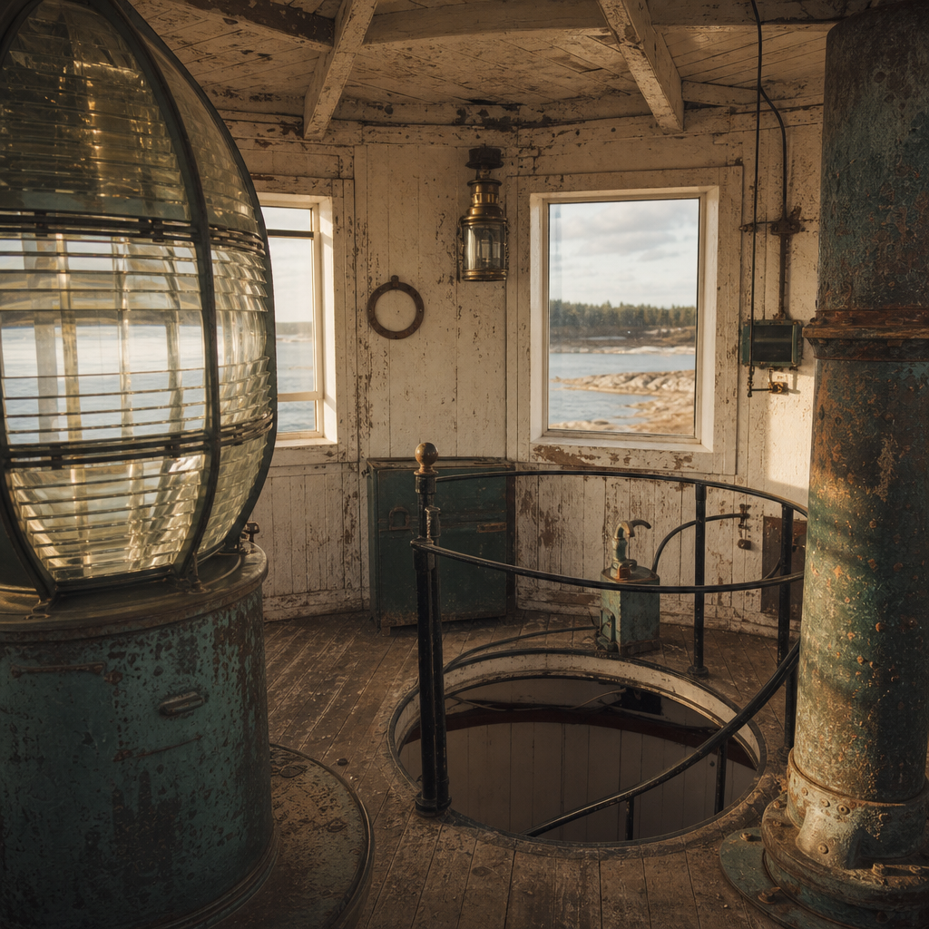
Six preserved views from fog, stone, lantern glass, and keeper paths — curated as an editorial archive rather than a modern photo reel.
Research notes
A quick reference to help interpret terms, stories, dates, and map markers as you continue through the archive.
It describes the largest Fresnel lens size. These powerful lenses were used at major coastal lights where long-range visibility was essential.
Beyond tending the light, they cleaned lenses, logged weather, maintained buildings, and monitored passing vessels in all conditions.
Status labels show whether a tower is active, repurposed, stabilized, or at risk. They reflect current stewardship, not historical importance.
Start with marker labels, then compare shoreline position and access notes. You can cross-check details in the tower map section.
Dates are inferred from logbooks, postmarks, construction phases, and visible equipment styles, then marked as approximate where records conflict.